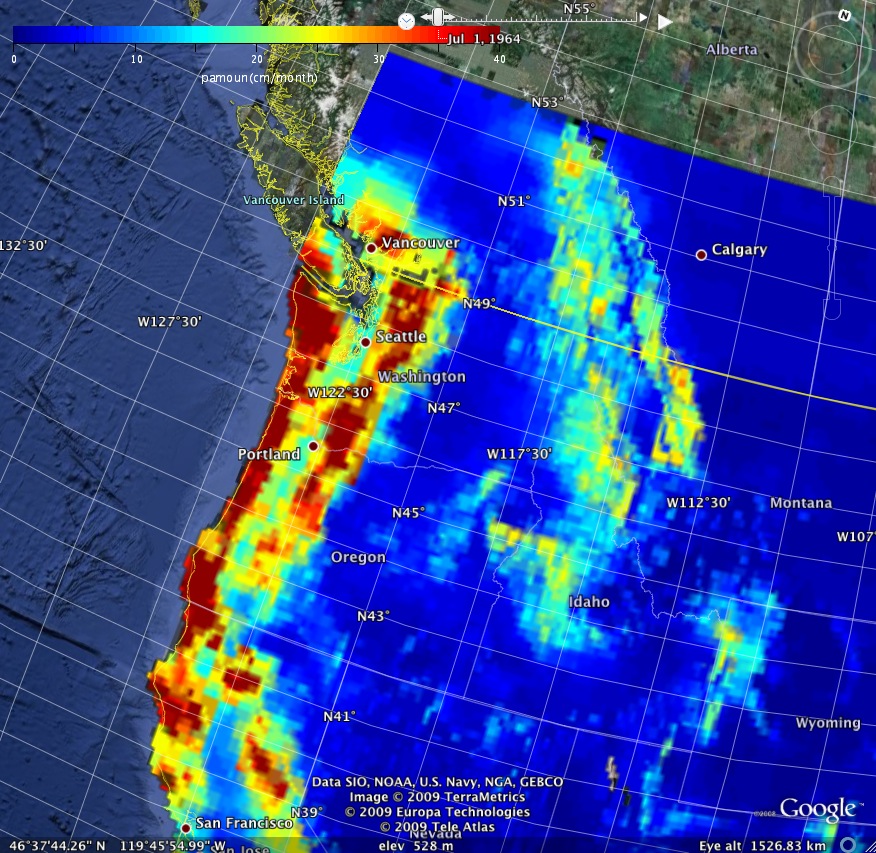
The monthly precipitation data and 1950-79 climatology can be downloaded or plotted through the dapper software. A Google Earth animation of the 1950-79 monthly precipitation climatology (cm/month) is available here.
Please note that a daily-average version of this dataset for 1949-2010 is available from the University of Santa Clara.
The reference for this model is Maurer et al. (2002) and additional documentation is available on another WWW page. The present page provides monthly-mean VIC hydrological data for the contiguous U.S. for the period 1950 - July 2000 in netCDF format. The files include both land and water gridboxes, and the water gridboxes are filled with missing value flags. Each netCDF file is about 250 Mbytes in size, and, for this reason, I also provide gz-compressed versions, which are about 100 Mbytes in size.
The VIC data is also available in 3-hourly and daily-average gridded netCDF files. The data is organized as yearly files and each compressed annual file is about 0.5 Gbytes and 85 Mbytes in size, respectively. The University of Washington VIC group is now serving the daily and 3-hour data. Please contact Ben Livneh or Joanna Gaski of the VIC group to obtain the data.
Reference:
Maurer, E. P., A. W. Wood, J. C. Adam, D. P. Lettenmaier, and
B. Nijssen, 2002: A long-term hydrologically-based data set of land
surface fluxes and states for the conterminous United
States, J. Climate, 15, 3237-3251
Model forcing data:
Precipitation rate: netCDF |
netCDF.gz
2-meter air temperature netCDF | netCDF.gz
Wind speed netCDF | netCDF.gz
Relative humidity netCDF | netCDF.gz
Net shortwave netCDF | netCDF.gz
Downward longwave netCDF |
netCDF.gz
Net Radiation netCDF | netCDF.gz
Albedo netCDF | netCDF.gz
Model derived variables (water balance variables and states):
Evaporation netCDF | netCDF.gz
Runoff netCDF | netCDF.gz
Base flow netCDF | netCDF.gz
Soil moisture layer 1 (see
note) netCDF | netCDF.gz
Soil moisture layer 2 netCDF
| netCDF.gz
Soil moisture layer 3 netCDF
| netCDF.gz
Soil Depths and porosities (storage capacities) of 3 soil layers netCDF | netCDF.gz
Snow water equivalent netCDF |
netCDF.gz
Additional variables:
Soil moisture tendency, layer 1 netCDF | netCDF.gz
Soil moisture tendency, layer 2 netCDF | netCDF.gz
Soil moisture tendency, layer 3 netCDF | netCDF.gz
Snow water tendency netCDF |
netCDF.gz
Downward shortwave netCDF |
netCDF.gz
Fractional soil moisture (total soil column) netCDF | netCDF.gz
Model derived variables:
Latent heat flux netCDF | netCDF.gz
Sensible hear flux netCDF | netCDF.gz
Ground heat flux netCDF | netCDF.gz
Surface temperature netCDF |
netCDF.gz
The daily resolution files for each year and variable are 100 Mbytes in size and there are 51 years of data so this is pretty big.
1) Move the files of the variable to be transfered to:
/home/disk/user_www/mitchell/vic/variablename
where "variablename" is the variable name, for example, Qsb.
2) The other party uses the following command line:
wget -r -nd --no-parent http://www.atmos.washington.edu/~mitchell/vic/variablename