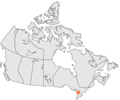
| Latitude 44° 35´N |
Longitude 80° 56´W |
Elevation 179 meters |
 Canada |
 Ontario |
Help Main |
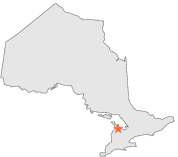
| 23 km | NW : | Wiarton A, ON |
| 84 km | SSW : | LUCKNOW, ON |
| 86 km | NNW : | TOBERMORY CYPRUS LAKE, ON |
| 100 km | SE : | ORANGEVILLE MOE, ON |
| 120 km | E : | ORILLIA TS, ON |
| 135 km | ENE : | BEATRICE 2, ON |
| 159 km | SE : | TORONTO, ON |
| 162 km | S : | WOODSTOCK Ont, ON |
| 167 km | SSE : | HAMILTON RBG, ON |
| 173 km | S : | London A, ON |