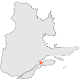
| Latitude 48° 36´N |
Longitude 68° 13´W |
Elevation 52 meters |
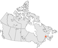
 Canada |
 Quebec |
Help Main |
| 27 km | SW : | RIMOUSKI, QC |
| 55 km | SSW : | TRINITE DES MONTS, QC |
| 59 km | N : | BAIE COMEAU A, QC |
| 77 km | ESE : | CAUSAPSCAL, QC |
| 119 km | SSW : | STE ROSE DU DEGELIS, QC |
| 121 km | WSW : | TADOUSSAC, QC |
| 123 km | ENE : | LES FONDS, QC |
| 124 km | SSE : | KEDGWICK, NB |
| 127 km | NW : | LABRIEVILLE, QC |
| 141 km | S : | EDMUNDSTON, NB |