| Latitude 43° 54´N |
Longitude 69° 56´W |
Elevation 21 meters |
 COOP Northeast |
 Maine |
Help Main |

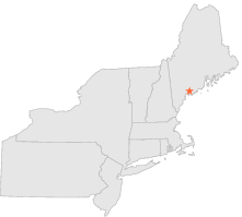
| 0 mi | N : | BRUNSWICK, ME |
| 5 mi | ENE : | BATH, ME |
| 8 mi | NW : | DURHAM, ME |
| 16 mi | W : | GRAY, ME |
| 18 mi | NW : | LEWISTON 2, ME |
| 18 mi | SW : | FALMOUTH, ME |
| 19 mi | W : | NEW GLOUCESTER, ME |
| 20 mi | NW : | LEWISTON, ME |
| 22 mi | ENE : | NEWCASTLE, ME |
| 23 mi | SW : | PORTLAND, ME |