Legates and Willmott surface air temperature climatology
Analyses | Data | Documentation
This WWW page contains the original Legates and Willmott climatology. This group has continued to work on this and other data sets, and newer versions of the data can be found at the University of Delaware. I am keeping this version of the data because it has grid points at the poles and on the equator, and is consequently easier to compare with the NCEP reanalysis grids.
Analyses
Animations for North America and the Northern Hemisphere (mpeg)
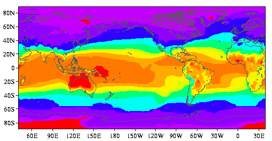
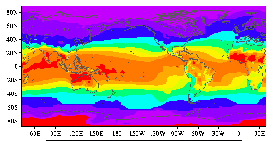
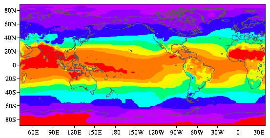
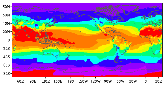
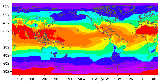
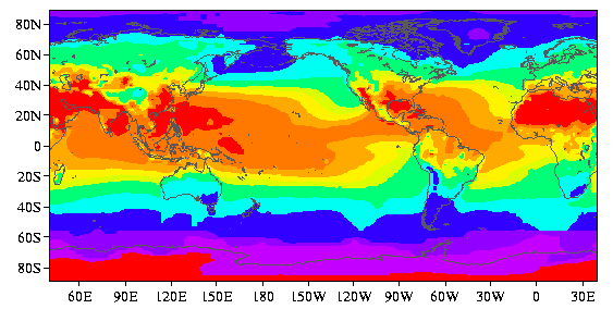
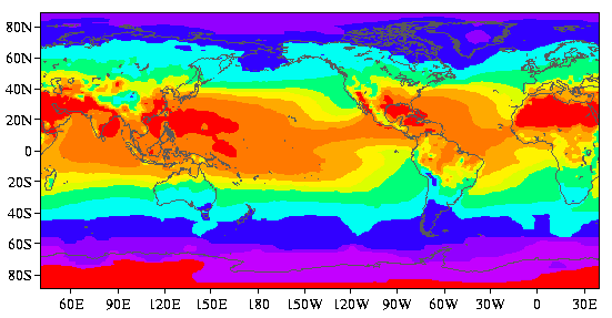
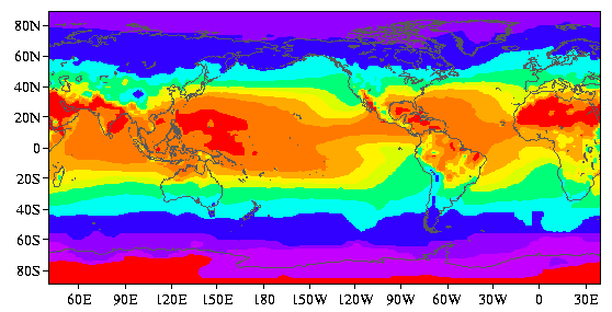
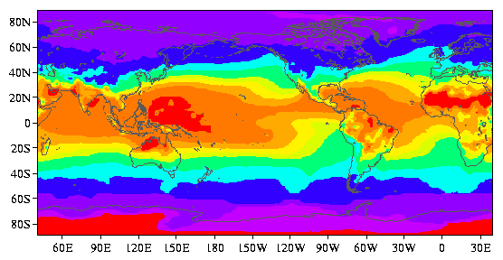
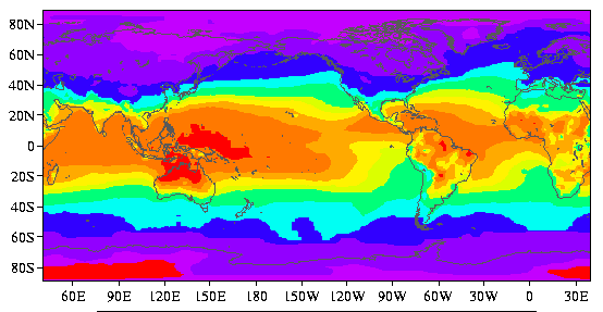
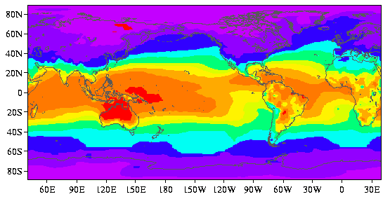
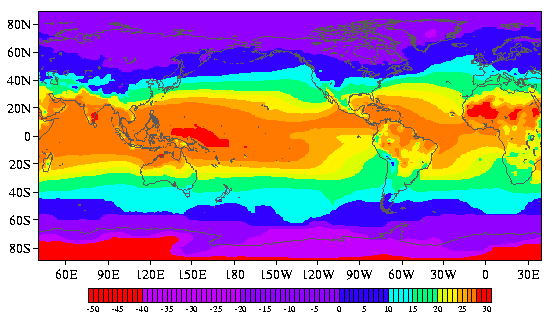
Individual Calendar Months (C): J F M A M J J A S O N D
All figures are produced with the Freud visualization software.
Data
2.5-degree latitude-longitude resolution that has been shifted in
space to be the same as the NCEP NCAR reanalysis grids
netCDF format (0.25 Mb)
All errors in the netCDF file are due to Todd Mitchell.
The abstract from Legates and Willmott (1990):
Most of the land station records are for the years between 1920 and
1980. Median air temperatures over the oceans are taken from the
Comprehensive Ocean-Atmosphere Data Set (COADS) for the years
1950-79. COADS data are 2-degree latitude-longitude resolution.
Reference and details of the calculation
Legates, D. R., and C. J. Willmott, 1990: Mean seasonal and spatial
variability in global surface air temperature.
Theor. Appl. Climatol., 41, 11-21.
Using terrestrial observations of shelter-height air temperature and
shipboard measurements, a global climatology of mean monthly surface
air temperature has been compiled. Data were obtained from ten
sources, screened for coding errors, and redundant stations were
removed. The combined data base consists of 17986 independent
terrestrial station records and 6955 oceanic grid-point records.
These data were then interpolated to a 0.5-degree latitude-longitude
lattice using a spherically-based interpolation algorithm. Spatial
distributions of the annual mean and intra-annual variance are
presented along with a harmonic deomposition of the intra-annual
variance.
May 2000
Todd Mitchell (mitchell@atmos.washington.edu)
JISAO data