There are several annoying features of the blended data set that I have removed or am in the process of removing. The details of tinkering with the climatology are discussed at the bottom of this page. Erroneous high rainfall values over the Sea of Okhotsk, Hudson Bay, Labrador Sea, and the coast of Antarctica have been largely removed in the climatology. The procedure that I used was not perfect, and I am not happy with the estimates off the coast of Antarctica. I do not plot south of 55 degrees S on the following plots for this reason.
Data
The netCDF file (0.25 Mbytes)Each map contains complete fields of data: there is no missing value flag.
Analyses
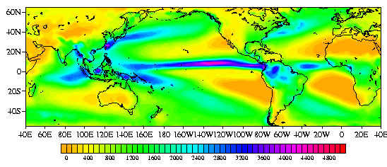
Annual Total (mm)
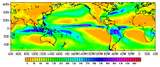
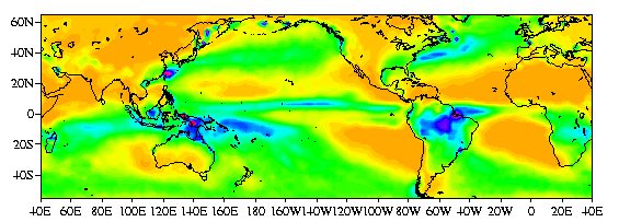
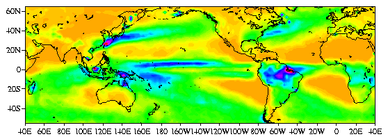
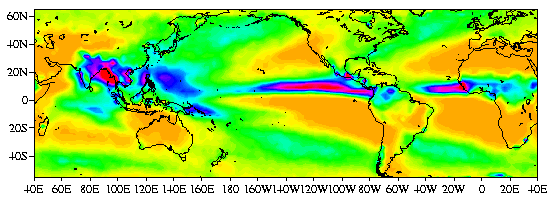
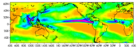
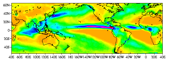
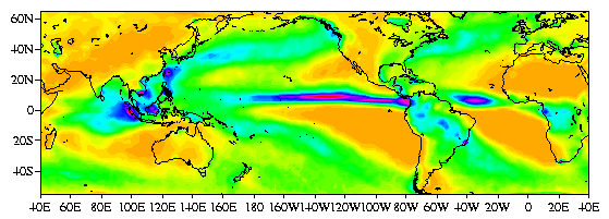
Individual Calendar Months (mm month-1)
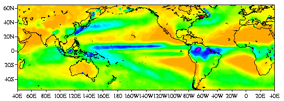
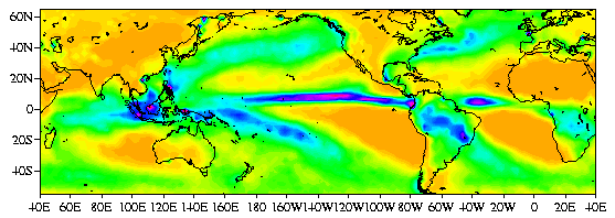
January
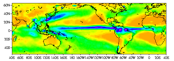
February
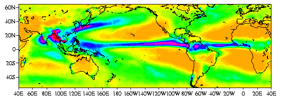
March
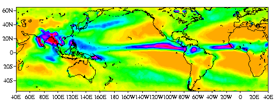
April
May
June
July
August
September
October
November
December
Figures produced with Freud.
Details of the calculation
The new climatology has this annoying feature of depicting excessive rainfall at high latitudes (Sea of Okhotsk,
Hudson Bay, Labrador Sea, and the coast of Antarctica). This problem
is due to the inability of the MSU estimates to differentiate between
ice and very heavy rainfall. So far I have compared the Legates/MSU
with the Legates and Willmott (hereafter LW) values at each grid
point, and replaced the Legates/MSU values with LW values at each
gridpoint where the Legates/MSU value exceeds the LW value by at least
50cm/mon. This cutoff is arbitrary. The data does not suggest a
better cutoff. This substitution process has removed the great
majority of the spurious values associated with MSU estimates over
regions of sea ice. The ice line is still evident off of the coast of
Antartica and there are point problems at other coastlines. I still
have to fix these problems.
August 1998
Todd Mitchell (mitchell@atmos.washington.edu)
JISAO data